Date: Easter Sunday – 20 April 2014
Start: Black Gap Shelter -1.5 miles Today: 9.6 miles
Finish: Hawk Mountain Shelter 8.1 miles Total AT: 8.1 miles
A lot of hikers swear by the shelters. They love ’em. They’re so convenient, there’s so much camaraderie, blah blah blah. I hated my first night in Black Gap Shelter, hated ever single minute of it.
- I am a light sleeper and Pop-C snored.
- I am a cold sleeper and a structure with only three sides doesn’t retain heat very well.
- I am a restless sleeper and felt guilty every time I rolled over because my mattress made the most godawful rustling noises.
- I am a private sleeper and do not enjoy knowing someone could be watching me drool.
- I am a lazy sleeper and would prefer to pee in a bottle at 3am than leave the warmth of my sleeping bag to venture outside in search of a more secluded location.
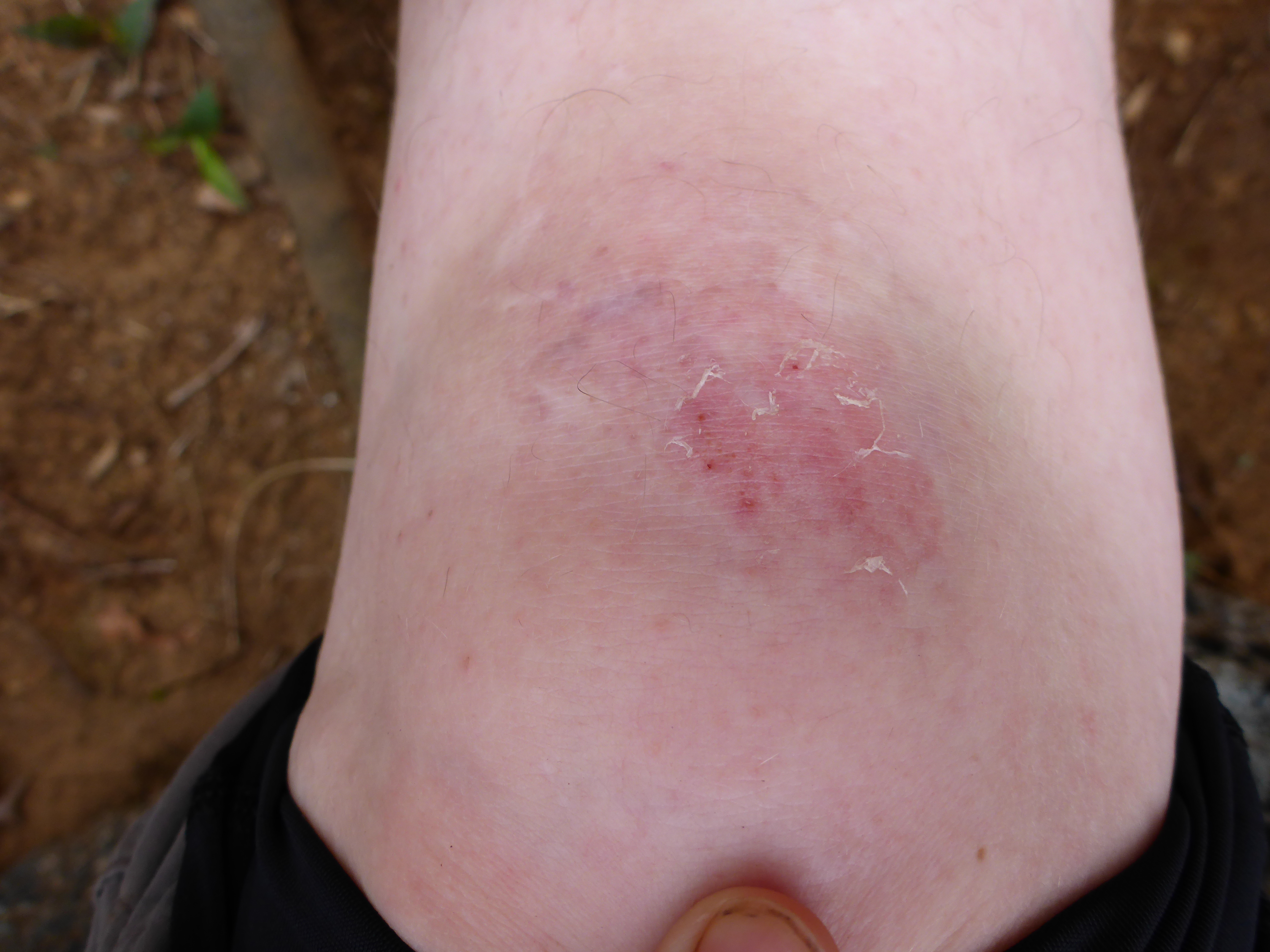
Also? It turns out I’m a late sleeper. My alarm went off at 5am as planned, and it took me almost one full minute to turn it off because my right hand was numb from the cold and my left hand was numb from sleeping on it. I kept dragging my unresponsive fingers across the screen, desperately trying to muffle the sound with the corner of my sleeping bag while praying nobody tenting near the shelter could hear it.
Pop-C jumped up right away, packed his stuff and hit the trail before 6am as planned. I just continued to lie there, waiting for him to leave so I could go back to sleep. So much for my grand aspirations of the previous evening.
I didn’t break camp until 8:20am, long after sunrise had come and gone.

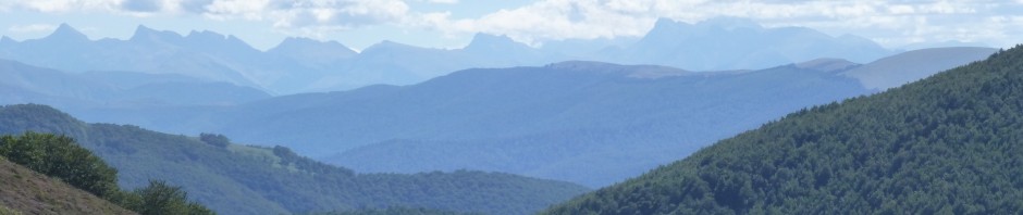
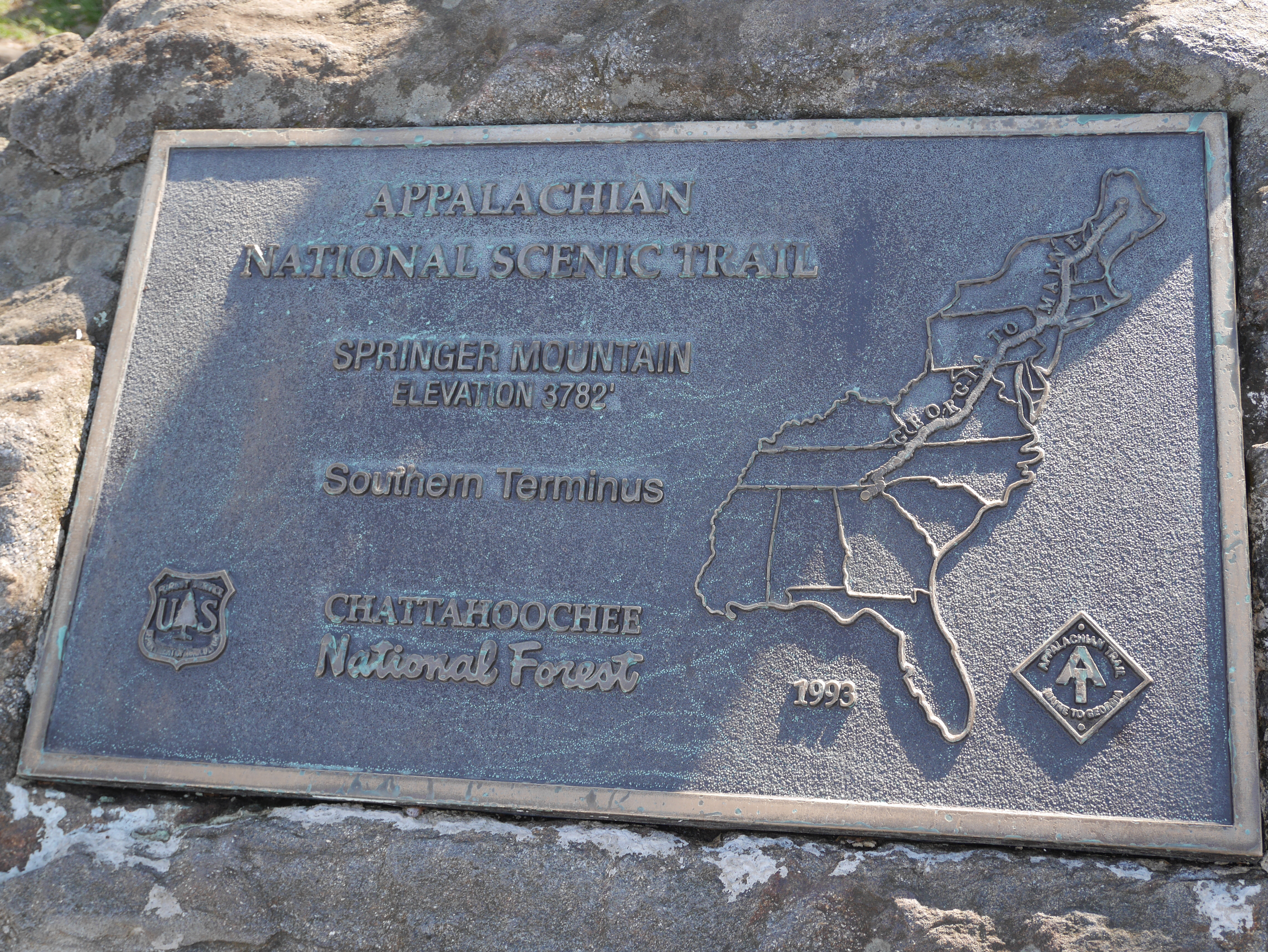
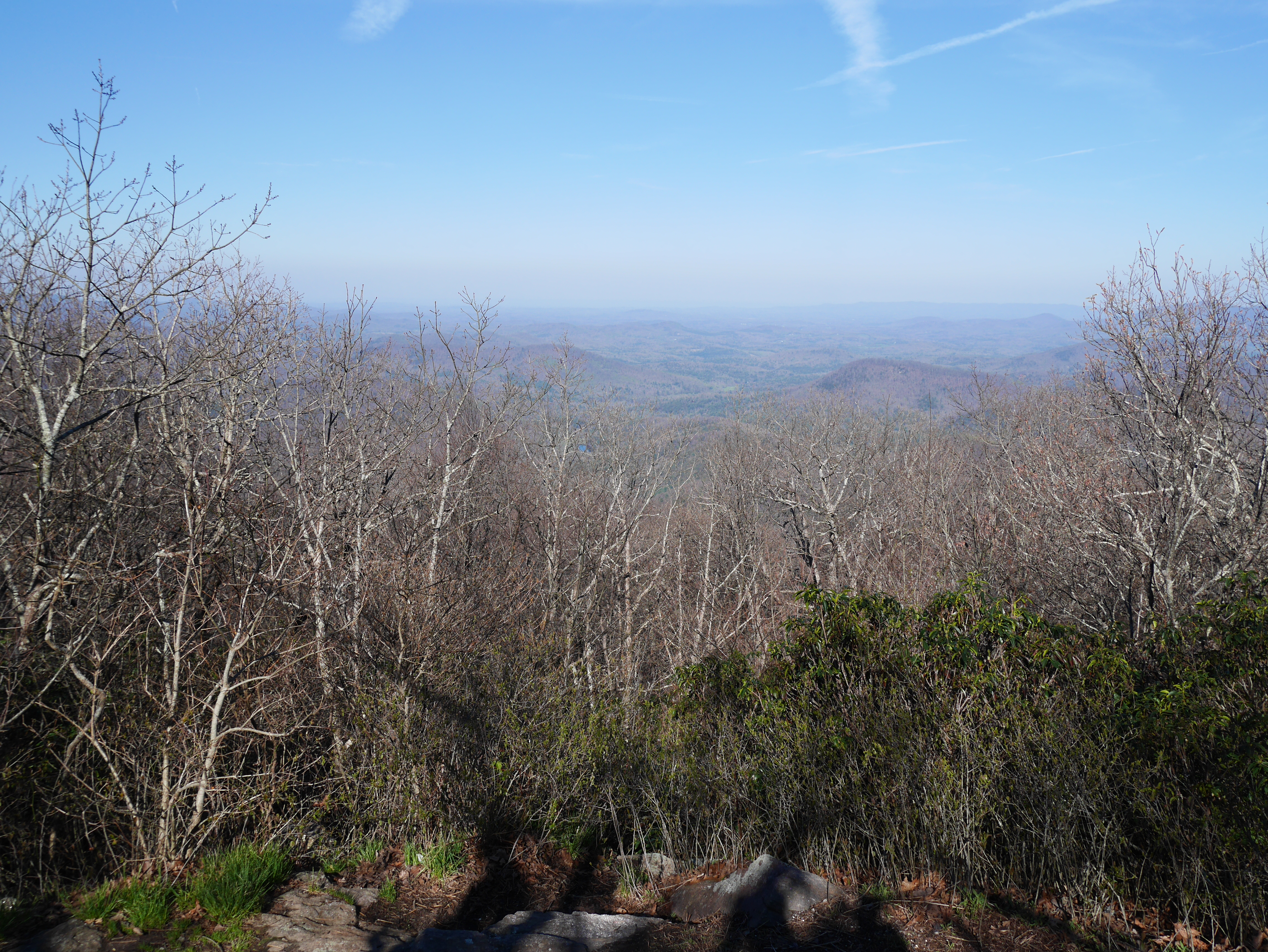
At least the weather was gorgeous, and it only took about an hour before I reached the summit of Springer Mountain, official starting point of the Appalachian Trail.
It was very exciting! I took some photos of the plaques!

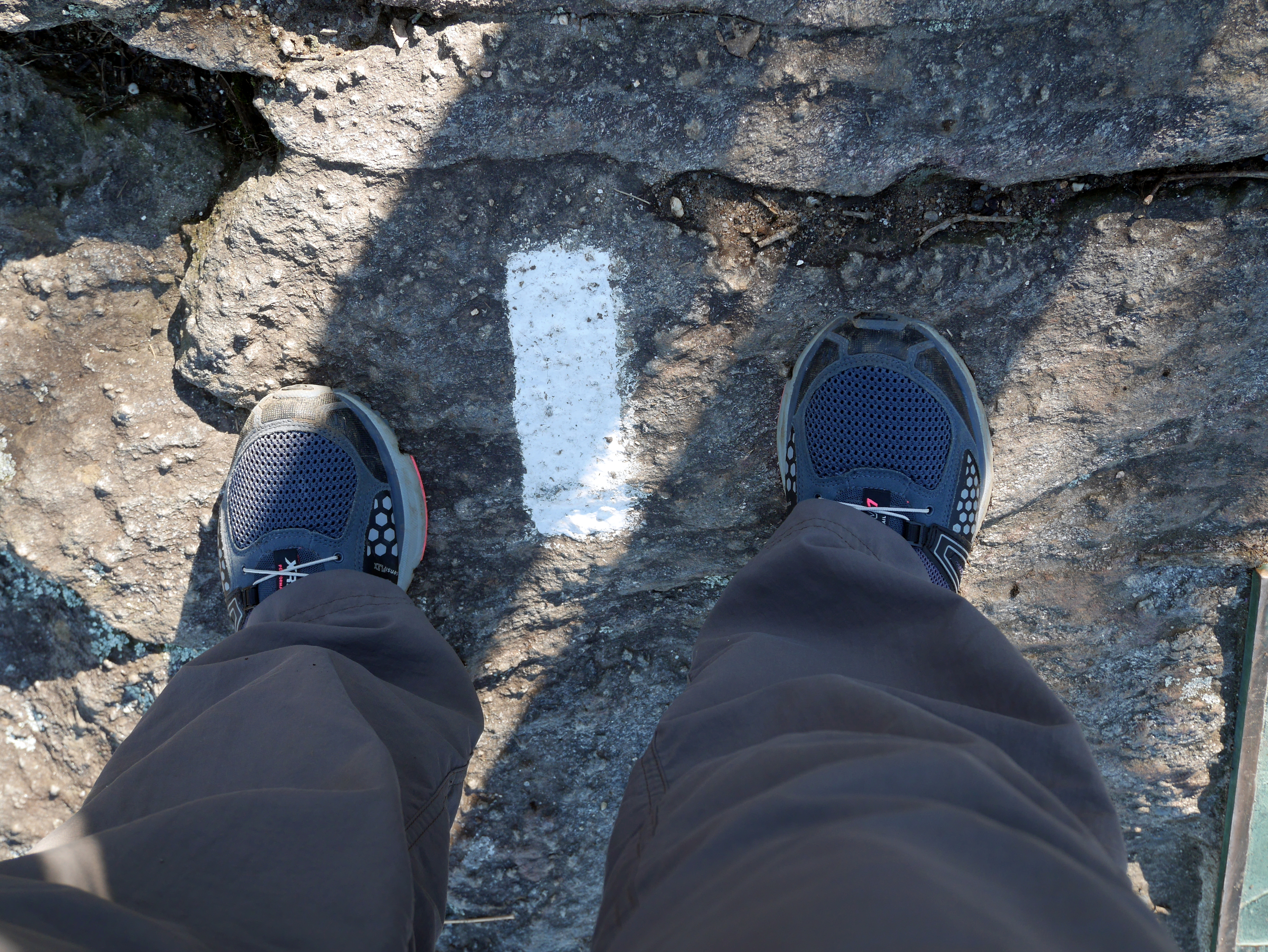
I took some photos of my very first white blaze!
I took some photos of the view!
I took a bunch of slightly blurry off-kilter selfies, none of which I’m going to post!
It was great. I got a little too into the picture-taking, though, and completely forgot to sign the register.
Five minutes after I left the summit heading north, I started running into hikers who had been dropped off that morning at the parking lot. Not gonna lie, I felt really smug about having done the approach trail and tried to think of a way to subtly let them all know I was an overachieving superstar already on the second day of her hike.
The best conversational gambit I could think of was to ask what the parking lot was like, which is kind of sad and the polar opposite of smooth, so I just nodded regally at everyone I passed.
This included my second Sarah, hereafter known as “Sarah with a black dog,” and my first ridgerunner, Becky.

Once I reached the parking lot, I loitered around in case someone wanted to give me something (food? soda? Easter candy? religious tract? anything?), but nobody was feeling very generous. Where is my weekend/holiday trail magic?! I’ve been on the AT for one whole mile, where is my reward?!
Trying to look needy got boring after ten minutes, so I got back on the trail and hiked another 1.8 miles to Stover Creek Shelter before stopping for a lunch of smoked salmon and seaweed. While I was there, I met Joan and Catherine, a thru-hiking mother/daughter duo from Toronto, and Roger from Houston, who’s carrying a 55 lb backpack with approximately ten days of food.
Let me just repeat that: Ten. Days. Of. Food. Weighing 25 pounds. On his back.
Unsurprisingly, Roger was stopping at Stover Creek Shelter for the night, even though it wasn’t quite 1pm. I was a little jealous; the shelter was built in 2006 and looked lovely.

Roger, who also hiked the approach trail, spent last night in his hammock at the Springer Mountain Shelter. I felt really good about my life and my choices after he told me everyone who opted to sleep in the shelter fled in the middle of the night because of “rats.” Laziness pays off!! Clearly, stopping at Black Gap Shelter was the right decision after all.
Lesson learned: Quit early or your face might get gnawed off at 2:30am.
Within ten minutes of leaving Stover Creek Shelter, I met my third Sarah. I wish I could say I was surprised, but I gave up the dream of being the only Sarah in any given social situation when Sarah Moen and I were assigned to the same second grade classroom and I had to start writing “Sarah B.” on all my assignments. It’s been downhill ever since.
Sarah #3 and I became acquainted when I heard her come up behind me and mutter, “What the hell is that? Ohhh…” Apparently she’d mistaken the camp shoes attached to the back of my pack for some sort of doll – a bright red, hairless doll. Sure, why not.
After we introduced ourselves, I made the rookie mistake of trying to walk and talk at the same time. Some people can manage that, but I am uncoordinated, graceless and clumsy under the best of circumstances, and the “best of circumstances” does not involve carrying 30+ lbs on my back. We exchanged, at most, three sentences before I fell down.
Awesome. There is nothing I enjoy more than falling down in front of a total stranger. On a perfectly flat section of trail, no less! !@$!@%!@#$
Ah well. Like death and taxes and the premature cancellation of whatever new television drama I’ve just started to enjoy, falling down on a semi-regular basis is one of the inevitabilities of the universe I’ve had to accept.
So is getting lost.
At Three Forks, so named because it marks the convergence of three different trout streams, the Appalachian Trail passes over a footbridge, crosses USFS 58 and continues uphill. It also happens to briefly merge with the Benton MacKaye Trail for about a mile before the BMT splits off to the west toward Long Creek Falls. The BMT is marked by a white diamond; the AT is marked by a vertical white rectangle. Imagine my confusion when I crossed USFS 58 and started walking up what I thought was the AT, only to be confronted with a diamond painted on a tree.
The 2014 AWOL Northbound guide doesn’t explicitly mention that the trails merge, probably because it assumes its readers are thinking creatures who don’t need to be spoon-fed information. Frankly, it’s giving me too much credit. I definitely require spoon-feeding. I can’t tell my left from my right without holding up my thumb and forefinger to make an “L”.
So when I crossed the footbridge and walked across the road and started climbing the hill and saw a white diamond painted on a tree, I thought, “Oops, must be on the wrong trail.” I turned around and went back across the footbridge. I walked up and down the bank. I crossed back to the other side. I walked up and down the road. I asked two women walking their tiny rescue dogs if they knew where the AT went. I asked a family having a picnic by one of the streams if they knew where the AT went. I got out my book again to see if I was missing something that would tell me where the AT went. I walked up the road again. I shook my fist at the sky.
WHERE IS THE TRAIL OH MY GOD I JUST WANT TO FIND THE TRAIL WHY IS LIFE SO TERRIBLE RIGHT NOW?!
Eventually Jerry and his buddies, the four section hikers from North Carolina I met the previous day, found me wandering in circles and were kind enough to pull out their map to reassure me that, diamonds notwithstanding, the trail I originally started hiking was indeed the AT. Sure enough, just past that stupid painted diamond was a tree with an AT blaze. I swore and kicked at a tree root until I felt better, but seriously, would it kill somebody to put a giant blinking neon sign at the base of the trail so hikers with a terrible sense of direction don’t have to suffer such needless confusion?? Maybe I could get a Kickstarter funded to pay for that.
Since I’d wasted half an hour stumbling around like a fool, I opted not to take the side trail up to Long Creek Falls, a decision I almost immediately regretted. I don’t know if I’ll ever be in this section of north Georgia again, and I don’t want to miss out on interesting sights and experiences simply because they’re not directly on the trail. That seems unnecessarily limiting.
I tried to make up for this oversight by taking a quick detour to Hickory Flats cemetery a little further up the trail.
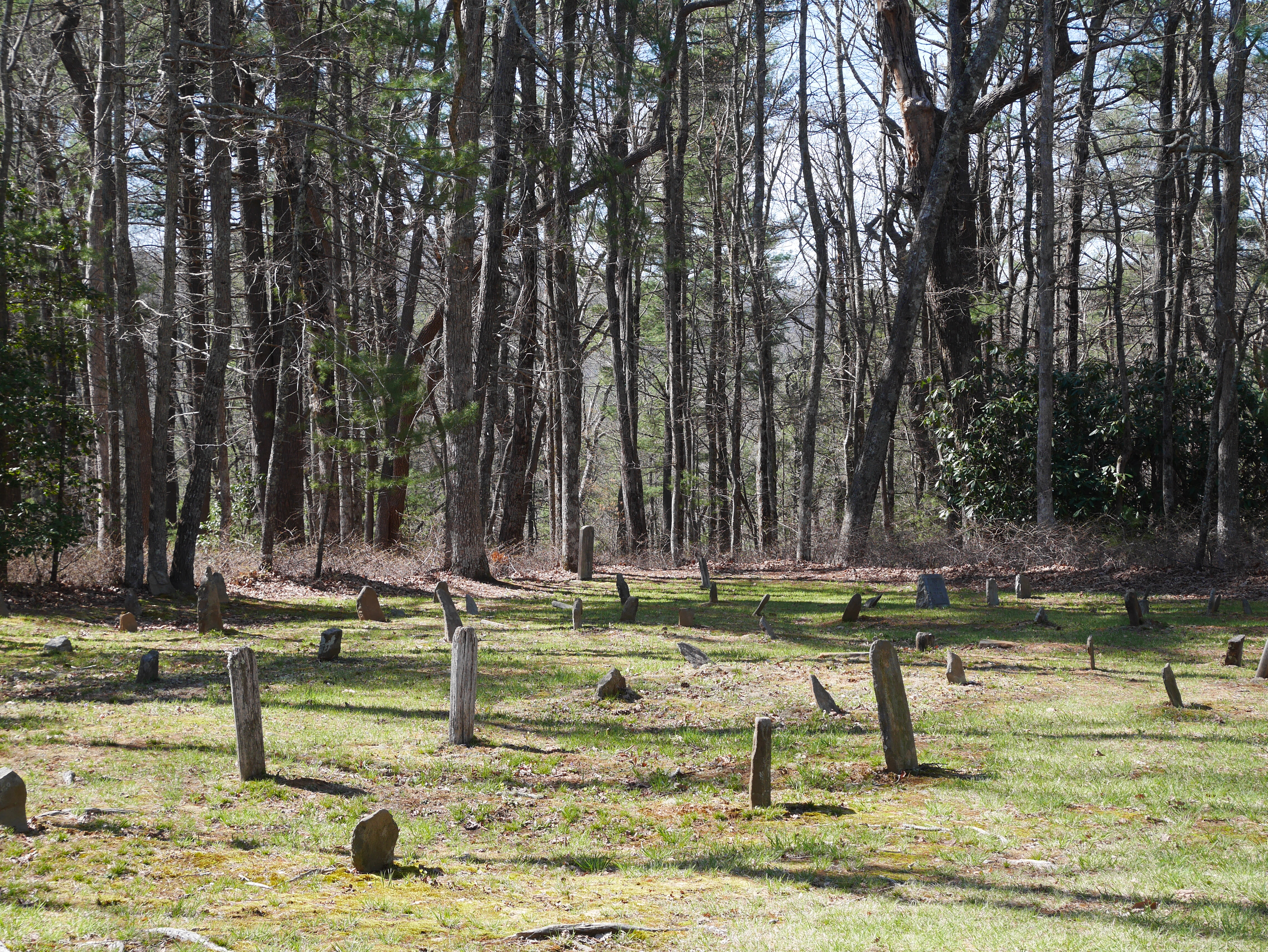
The place was completely deserted, and the sun felt really nice, so I took off my pack and had a little nap. I was tempted to turn it into a long nap, but I was low on water and the next source was two miles away at Hawk Mountain Shelter.
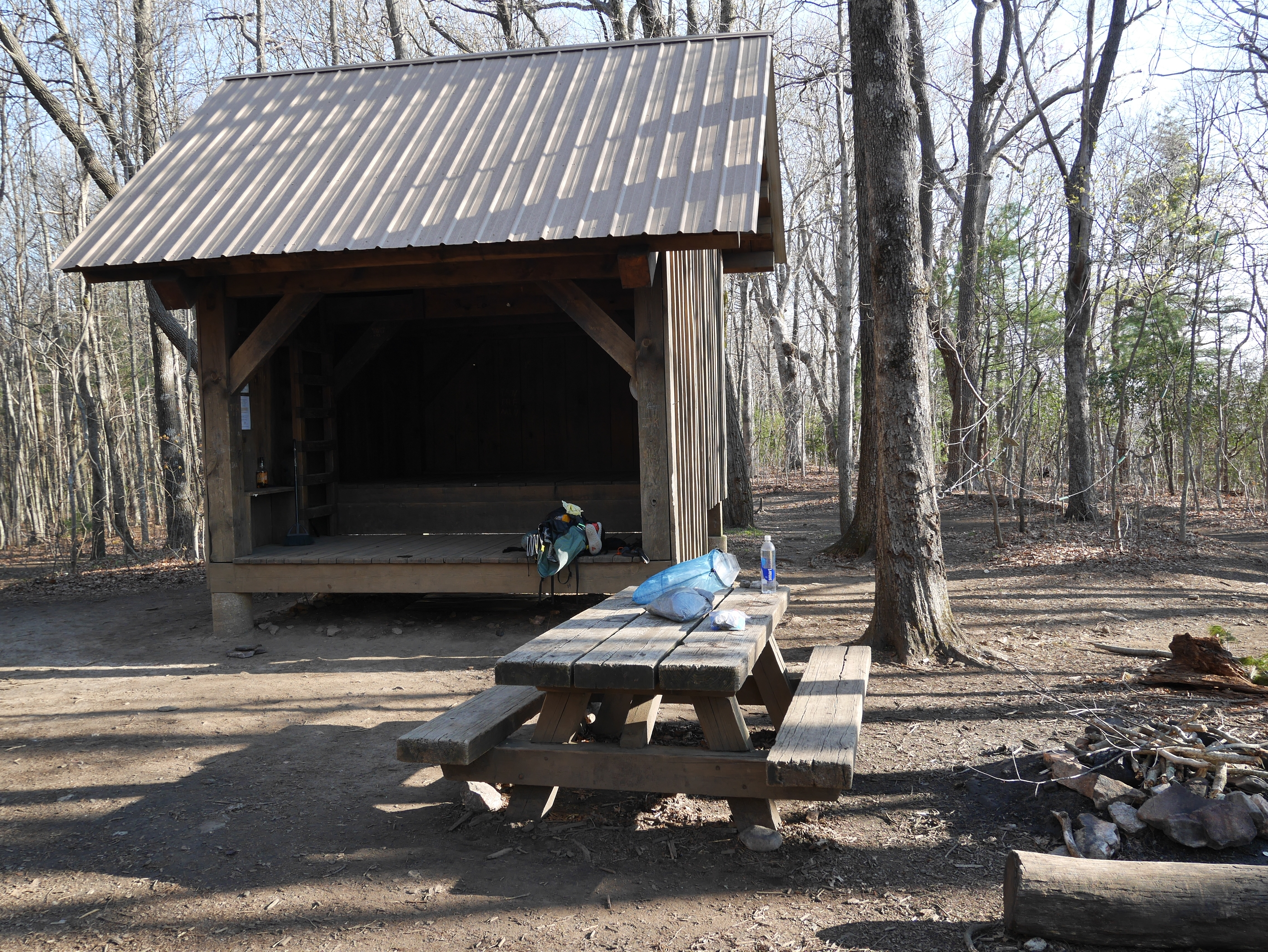
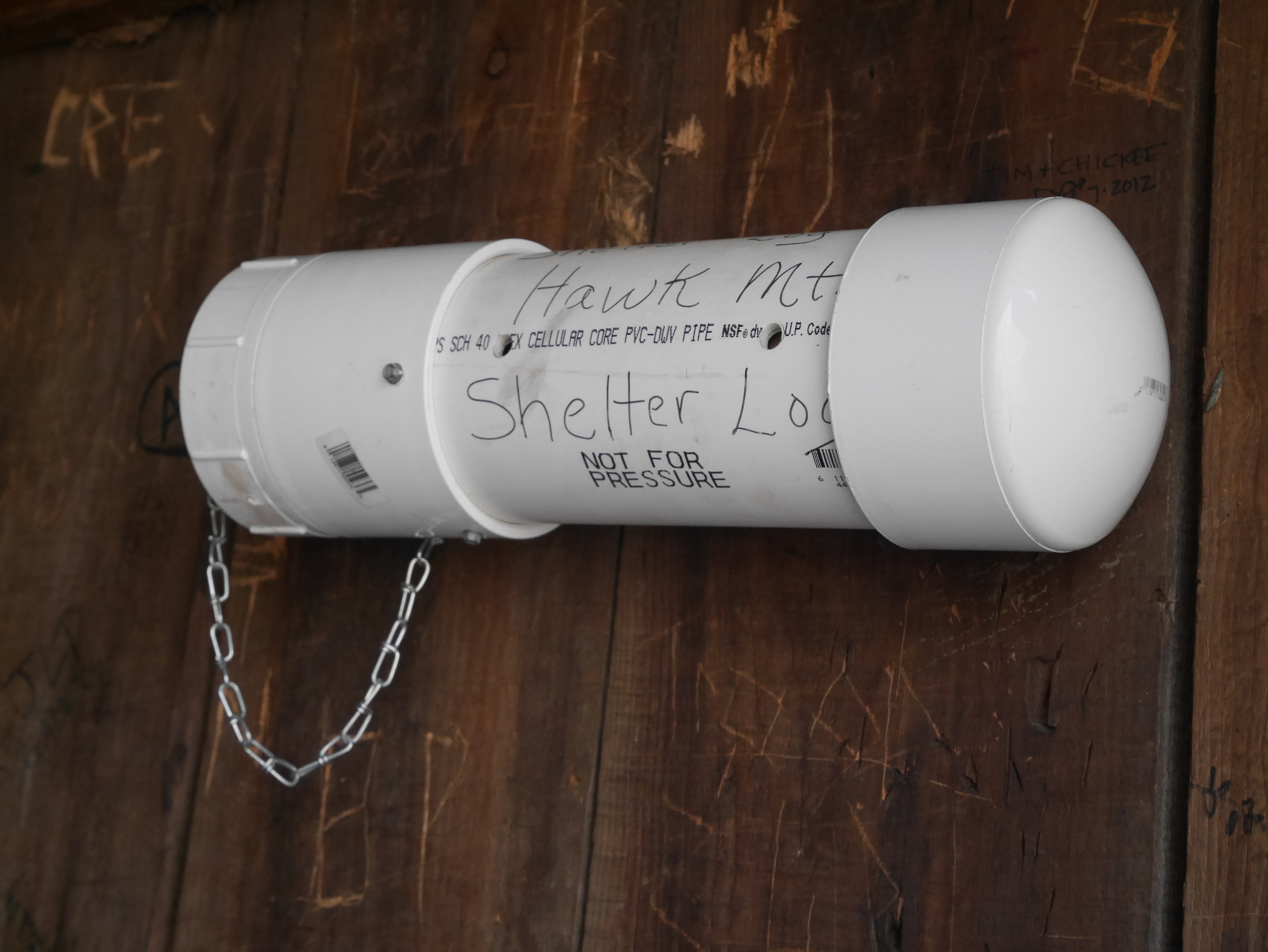
I made it to the shelter by 6:25pm to find Pop-C had rolled in four and a half hours ago. He’d already washed and dried all his hiking clothes, set up his spot in the shelter and reorganized all his gear. His efficiency is starting to give me a complex.
I opted to forego the shelter and set up my tent before joining Pop-C and the four NC section hikers at the picnic table for dinner. The mother/daughter duo from Canada were hammocking across the clearing, but we only exchanged waves.
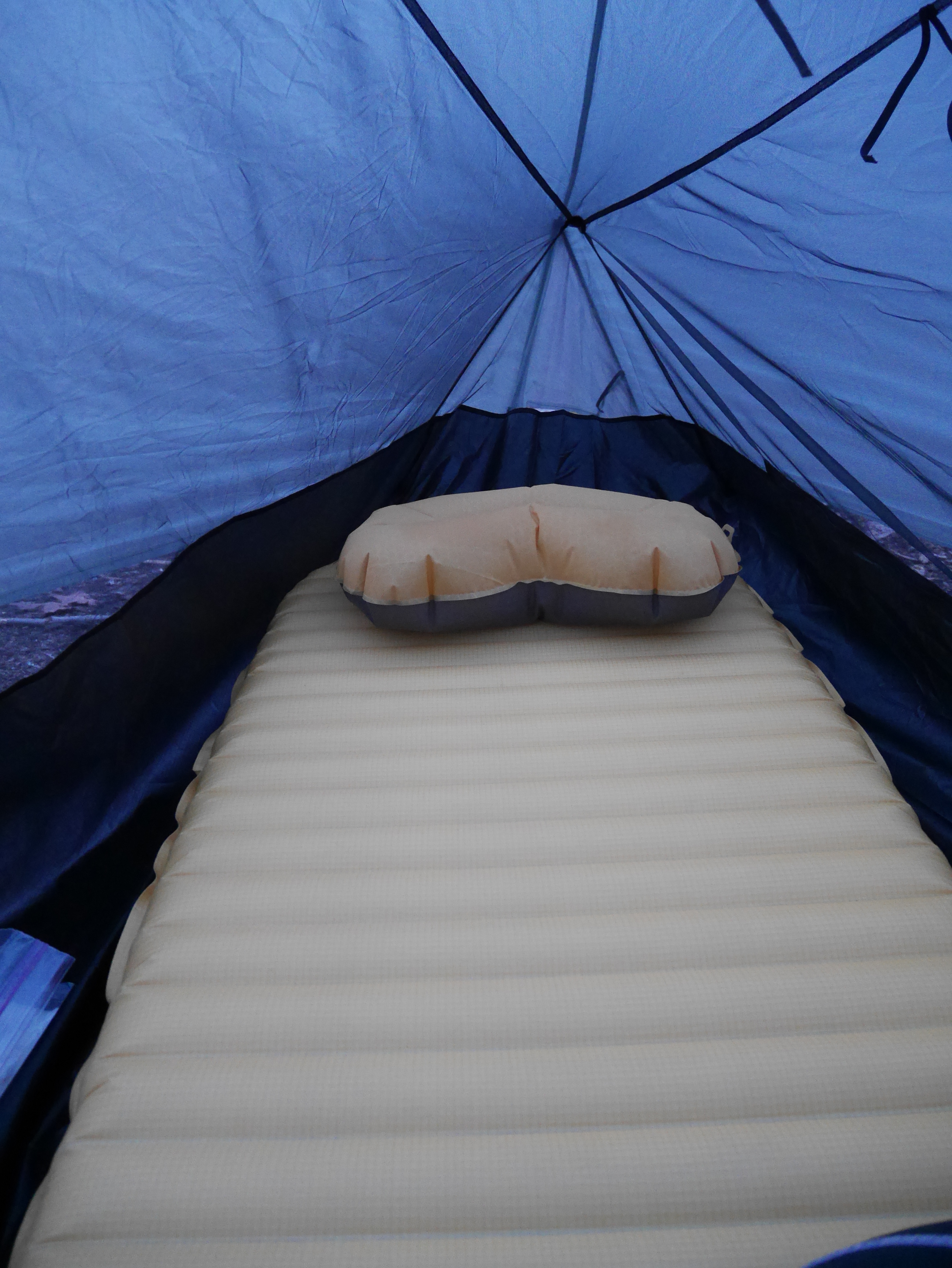
I was inside my tent by 7:45pm.

I see you don’t monetize adventurestan.com, don’t waste your traffic, you can earn extra cash every month with new
monetization method. This is the best adsense
alternative for any type of website (they approve all sites), for
more details simply search in gooogle: murgrabia’s tools